Eastern Arizona Museum and Historical Society
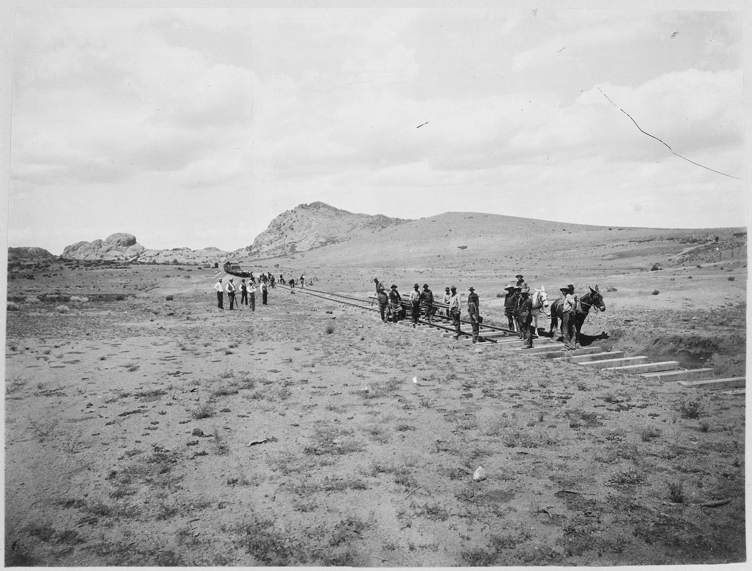
A section of railroad being built in Eastern Arizona, circa 1900. (Courtesy photo)
Enjoy reading up on some Eastern Arizona history by visiting the Eastern Arizona Museum and Historical Society located in the town of Pima. The building the museum is located in is, in itself a historical piece, as it used to be the Bank of Pima, the oldest structure in Pima. The building was constructed in 1882 of tufa stone from the limestone quarry at Bear Springs Flat and was originally used as a community conference area. Of the trio of historical buildings used for the museum is the Old Rexall Drug Store, built around 1900 and moved to the old Royal Confectionery building in 1928. When you step inside the museum, it’s as though everything inside the building had been frozen in time from the early 1900s, with original fixtures, tools, and various items that had long since been left behind by their owners.
Museum collections include:
American Indian Artifacts
Arizona History books
Barbed wire collections
Guns and knives
Hand tools
Handwork
Individual and family histories
Photographs
Quilts
School Annuals and Artifacts
Vintage clothing, shoes, jewelry and grooming items
Wood carvings – an extensive collection by local Don McFate
For museum operating hours and more information about the museum, please visit: http://easternarizonamuseum.com/.