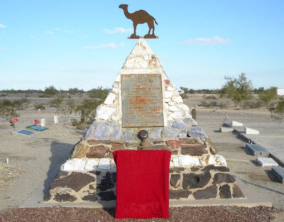
Image courtesy of Arizona Highways
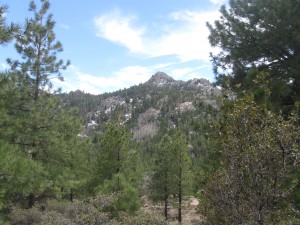
The Hualapai Mountain Park near Kingman provides for a vast collection of majestic views, hiking trails, picnicking, camping, wildlife viewing, biking or cabin rentals in this county park nestled in the forest. Higher elevations are home to mule deer, elk, mountain lions, foxes and a wide variety of birds. Hiking trails wind up Aspen Peak and over to Hayden Peak, and depending on how adventurous you feel, the hike can last anywhere from 1 to 4 hours.
Take a hike on one of 14 trails. These include 6 miles of developed trails and 10 miles of undeveloped trails ranging from elevations of 6,300 to 8,240 feet. Enjoy the cool shade of Ponderosa Pine, Pinion Pine, White Fir, Aspen, Gambel, Scrub Oak and Manzanita, among granite rock formations.
Want to plan a hike overnight? With more than 70 individual camp sites available in three separate areas with grills and picnic table, and a limited supply of water, the Hualapai Mountain Park has you covered.
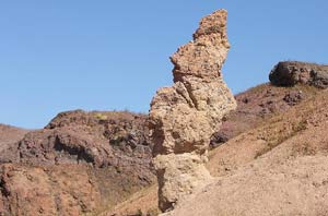
At an elevation 7,601 feet, towering in the high desert landscape about 30 miles southeast of Kingman, Wabayuma Peak is the second highest peak in the Hualapai Mountains, and dominates the 40,000-acre Wabayuma Peak Wilderness. There are two routes to the trailhead, but the better and slightly easier road lies south of Kingman. At the trailhead elevation of 6,047 feet, the rewards of this wilderness reveal themselves in instant solitude, birdcalls and the rough expanse ahead.
For the first mile, the 2.5-mile trail climbs at a reasonable incline, with occasional steeper sections, through turbinella oak, pointleaf manzanita and scattered piñon pine and juniper trees. It takes about 45 minutes to travel 1 mile and reach the crest (elevation 6,700 feet) of a sharp ridge line and a couple of exceptional campsites, flat and shaded by tall ponderosa pine trees, which overlook the southern end of the mountains, this section is a great part to set up camp for the night and enjoy the cool pines. When you awaken the next morning, refreshed and ready for the next part, be ready for a little bit more of a challenge, and if you’re not careful, about a half-mile farther, you’ll miss a cairn that directs you toward the summit. If you read the cairn correctly you will encounter a steep climb of approximately 400 yards through thick brush takes you to the summit of Wabayuma Peak, where the western face of the wilderness opens before you. Feel like taking the long way around? Instead of following the cairn, wander north and downhill, along an overgrown jeep track through dense chaparral, which takes an extra hour to two hours (depending on your pace).
For more information, call: 928-718-3700