The Copper Corridor Scenic Road West
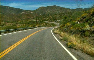
(Courtesy photo: Arizona Dept. of Transportation)
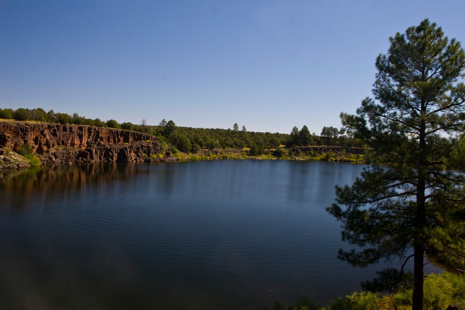
The Copper Corridor on State Route 177 spans 32 miles, taking you through the towns of Hayden and Winkelman. The scenic road runs parallel to the Gila River on the northeast side of its floodplain, alternately traversing lower slopes and ridges of Dripping Springs Mountains and steep, rock arroyos and canyons trending southwest toward the floodplain of the river.
Extensive surface mining activity is quite visible, especially at the Ray Mine, and is so vast that the mine itself has become the landscape. The undeveloped area of the Tonto National Forest, near Ray Mine provides a splendidly rugged wilderness visual, as do two other short sequences on either side of the Kearny community.
Visual experiences along the road is punctuated by significant landforms. Picketpost Mountain, located west of Superior, features a squared-off peak containing thick layers of volcanic tuff. The lava at the top flowed from a vent on the east side of the mountain about 18 million years ago. The Dripping Springs Mountains run along a large portion of the east side of this scenic road. Portions of this range display mountain slopes with tilted Paleozoic sedimentary rocks pushed along the fault that edges the mountains. The Mineral Mountains, located to the southwest of SR 177 includes the White Canyon Wilderness area containing White Canyon and numerous side canyons that display a variety of geologic strata. In addition the range contains, a large escarpment called the Rincon, which towers above the valley floor. The Teapot Mountain is found at the north edge of the Ray Mine. It can be seen from several viewpoints along SR 177, both northbound and southbound.
With so much history and things to see along the way, it makes for an enjoyable trip for all!