Copper Corridor Spotlight: Town of Miami
Like the fighter who keeps getting knocked down but comes back to fight again, Miami has survived for many years the fluctuations of the copper market and a world economy. But with its picturesque cottages clinging to the hillsides and territorial-era buildings in downtown, Miami is seeing what can only be termed a renaissance.
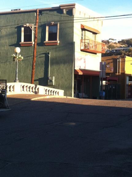
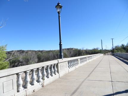
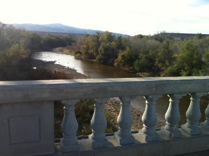
Miami Bridge
Antique shops and art galleries have sprung up and if it’s a thirst you’re trying to quench, they now have everything from an old-fashioned soda fountain to more grown up beverages in an old West setting. Mexican food is a favorite, so there’s never a shortage of eating places. And as for those cottages on the hillside…many have been purchased by newcomers who are enchanted by Miami’s small town charm.
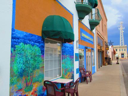
Picturesque Mine Café
Photo Courtesy Globe-Miami Chamber of Commerce
The town, while facing many challenges, has a new wastewater plant designed to carry Miami through the coming decades and the town council is committed to meeting the future needs of residents. Bullion Plaza Museum and Cultural Center, located at the west end of town in a former elementary school, is becoming well known throughout the state as a facility for meetings and conferences. Already this year, they have hosted three major groups. As a museum it is top rate, with displays of memorabilia from former Governor Rose Mofford, an extensive mineral and rock collection, and histories of the various ethnic groups that came to work the copper mines.
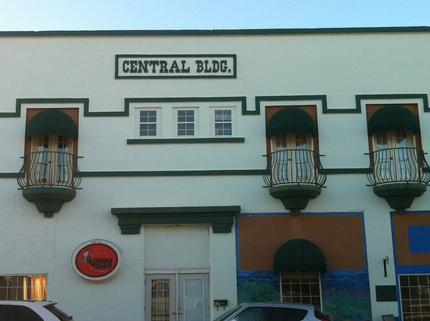
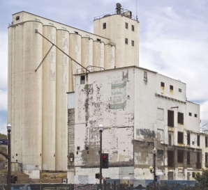
Miami Central Building
Miami is a proud reminder of the endurance and courage that early settlers in the mining camps demonstrated. That “we can do it” spirit survives today in Miami.