Blog Posts Tagged ‘hiking’

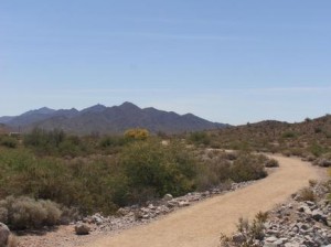
Estrella Mountain Regional Park

Photo Courtesy of Estrella Mountain Regional Park

Photo Courtesy of Estrella Mountain Regional Park

Estrella Mountain Regional Park, located in the city of Goodyear, offers more than 33 miles of trails for hiking, mountain biking, and horseback riding. Park Trails range in length from 2.3 miles to 8.8 miles and range in difficulty from easy to strenuous. If you are looking for an easy, relatively short hike, the 2.4 mile Baseline Trail is recommended. If you are looking for a long, all day hike, the Pederson Trail encompasses 8.7 miles.

Hiking and riding trails are easily accessible via trailheads located at the arena and amphitheater. A mountain bike trail brochure that categorizes trail difficulty is available at the park office. Visit Estrella’s Trails page for a complete list of trails and distances, and park hours.

Always remember to carry plenty of water and let someone know where you are going.

Picacho Peak

Photo Courtesy: Cronkite News Online

Photo Courtesy: Cronkite News Online

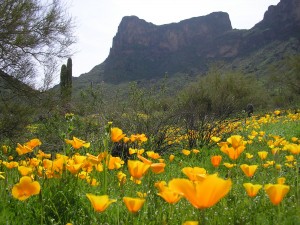
Just south of Eloy, Picacho Peak has been used as a navigational landmark for hundreds of years, and was the site of Arizona’s only Civil War battle. The 3-mile round trip stretch has been rated as “moderate” by most hikers due to its well-maintained trail and easy walking with trail elevation in most areas with only one steep section aided with steel handrails and cables. While on the trail you can expect to see an abundance of wildlife, enjoy the natural surroundings away from all the bustle of the city, as well as possibly a glimpse of petroglyphs from the historic Hohokam tribe.

With the ease of the trail, one can take the time to appreciate the view, mixed with a little bit of history, and a 360-degree breathtaking view of the surrounding Sonoran desert, what’s not to love?

The park re-opens to the public on September 13. Catch some practice hikes in the valley and then hit the trail just as summer starts to turn to early Arizona fall.

http://azstateparks.com/Parks/PIPE/ 

Peralta Trail – Superstition Wilderness

Photo Courtesy of ProTrails.com

Photo Courtesy of ProTrails.com

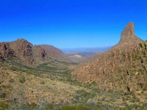
The Peralta Trail is located on the southwest edge of the Superstition wilderness, stretching through two diversely vegetated canyons highlighted by Weavers Needle – a 4,553-foot spire that towers over the landscape.

This hike is rather strenuous with varied terrain, and can easily do a loop of 6.2 mile’s worth of hiking. But the terrific views and useful insight to the canyons’ complex volcanic origin, which begins at the mouth of Peralta Canyon and climbs earnestly on a rugged, heavily vegetated path, make the hike an all-around pleasant experience. Oak and mesquite envelop portions of the trail along the canyon’s seasonally flowing creek, and once you’ve reached the Black Top Mesa, the view is breathtaking.

Plan a late-afternoon hike to watch the sunset, or early morning while it is still cool and sun begins to creep its way over the top of the majestic peaks. What you decide, you will not be disappointed in this serene desert hike.

Granite Basin

Photo courtesy of http://bit.ly/1uHpfJp

Photo courtesy of http://bit.ly/1uHpfJp

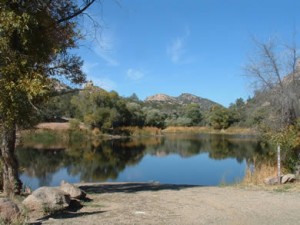
Granite Basin Recreation Area is the perfect hike for those who wish for an adventure beyond hiking. The public can camp, bike, fish, have a picnic and go horseback riding. Trails of the recreation include Balancing Rock Trail, Cayuse Loop, Clark Spring Trail, Hokaygon Trail, Metate Trailhead, Mint Wash Connector Trail, Surprise Spring Trail and West Lake Trail.


Kinder Crossing – Mogollon Rim

Photo courtesy of: http://bit.ly/1n3rVat

Photo courtesy of: http://bit.ly/1n3rVat

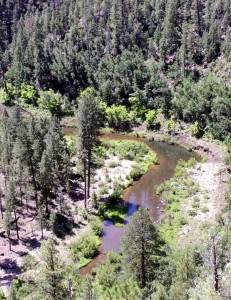
Hiking is, naturally, a very hot activity in Arizona. Kinder Crossing allows you to take a break from the heat with its picturesque access to East Clear Creek. Hikers of this trail can have a picnic and go swimming in the cool pools of water that align the hike.

Hikers of Kinder Crossing also get an awe-inspiring view of the Mogollon Rim. Limestone and sandstone steps offer the hikers footholds along a series of switchbacks.

Colossal Cave

colossal cave_southern_7.281.4

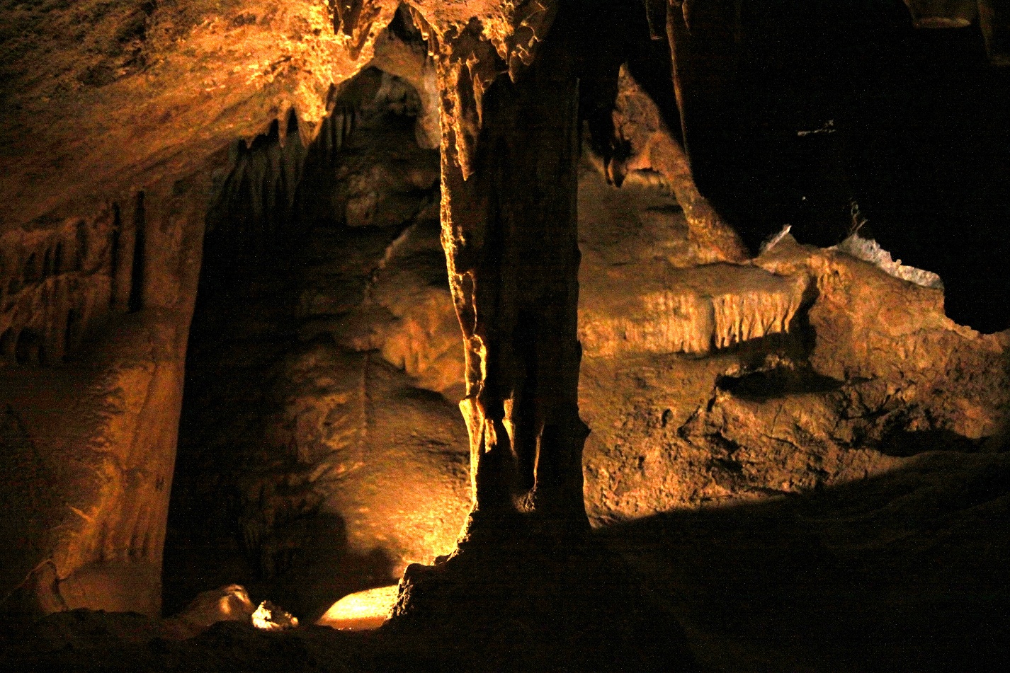
How about a hiking trail where you keep cool – as in hiking in 70 degrees and no sunlight? Colossal Cave tour route is a half-mile long and takes about 45-50 minutes to complete. As your guide relates the Cave’s history, legends, and geology, you walk down and back up about six and a half stories and see beautiful cave formations like stalactites, stalagmites, flowstone, boxwork, and helictites.

Tours are given daily, year-round. They are not pre-scheduled, but you’ll never wait longer than 30 minutes after you purchase your ticket. You need no special clothing in the Cave, which is always 70 degrees and dry. You are welcome to take pictures inside – you’ll want to use high-speed film and a flash unit for cameras, or a candlelight setting for videocams. Please click here for rates and Park hours.

To check availability and purchase tickets online for a Regular Tour go to Zerve or call (800) 979-3370

The Painted Desert Trail

Photo courtesy of americantrails.org

Photo courtesy of americantrails.org

The Painted Desert Trail in the Imperial National Wildlife Refuge, near Yuma, was developed by the Youth Conservation Corps. Construction began in 1980 and the trail officially opened on November 4, 1983. The trail is 1.3 miles with trail markers interpreting the geologic and natural history of the area. It traverses two washes and climbs over a mesa with a picturesque view of the Lower Colorado River Valley and Sonoran Desert.

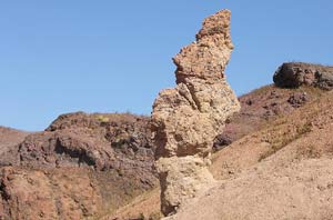
This trail was named for the multi-colored mounds of rock from ancient volcanoes that were once active 20-30 million years ago. Colors are determined by the minerals present in each mound. For example, iron creates a rusty red color, while copper shows as green. Home to unique desert plants and animals, the trail is a naturalist’s paradise. Visitors enjoy the opportunity to observe beavertail cactus, desert bighorn sheep, and lizards amidst unusual rock formations.

For more information, call (928) 783-3371

or visit: http://www.fws.gov/southwest/refuges/arizona/imperial.html

Hualapai Mountain Park

Image courtesy of Arizona Highways

Image courtesy of Arizona Highways

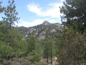
The Hualapai Mountain Park near Kingman provides for a vast collection of majestic views, hiking trails, picnicking, camping, wildlife viewing, biking or cabin rentals in this county park nestled in the forest. Higher elevations are home to mule deer, elk, mountain lions, foxes and a wide variety of birds. Hiking trails wind up Aspen Peak and over to Hayden Peak, and depending on how adventurous you feel, the hike can last anywhere from 1 to 4 hours.

Take a hike on one of 14 trails.  These include 6 miles of developed trails and 10 miles of undeveloped trails ranging from elevations of 6,300 to 8,240 feet.  Enjoy the cool shade of Ponderosa Pine, Pinion Pine, White Fir, Aspen, Gambel, Scrub Oak and Manzanita, among granite rock formations.

Want to plan a hike overnight? With more than 70 individual camp sites available in three separate areas with grills and picnic table, and a limited supply of water, the Hualapai Mountain Park has you covered.

At an elevation 7,601 feet, towering in the high desert landscape about 30 miles southeast of Kingman, Wabayuma Peak is the second highest peak in the Hualapai Mountains, and dominates the 40,000-acre Wabayuma Peak Wilderness. There are two routes to the trailhead, but the better and slightly easier road lies south of Kingman. At the trailhead elevation of 6,047 feet, the rewards of this wilderness reveal themselves in instant solitude, birdcalls and the rough expanse ahead.

For the first mile, the 2.5-mile trail climbs at a reasonable incline, with occasional steeper sections, through turbinella oak, pointleaf manzanita and scattered piñon pine and juniper trees. It takes about 45 minutes to travel 1 mile and reach the crest (elevation 6,700 feet) of a sharp ridge line and a couple of exceptional campsites, flat and shaded by tall ponderosa pine trees, which overlook the southern end of the mountains, this section is a great part to set up camp for the night and enjoy the cool pines. When you awaken the next morning, refreshed and ready for the next part, be ready for a little bit more of a challenge, and if you’re not careful, about a half-mile farther, you’ll miss a cairn that directs you toward the summit. If you read the cairn correctly you will encounter a steep climb of approximately 400 yards through thick brush takes you to the summit of Wabayuma Peak, where the western face of the wilderness opens before you. Feel like taking the long way around? Instead of following the cairn, wander north and downhill, along an overgrown jeep track through dense chaparral, which takes an extra hour to two hours (depending on your pace).

For more information, call: 928-718-3700