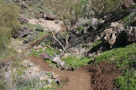
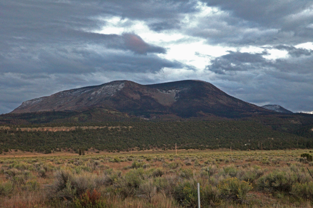
Blog Posts Tagged ‘hiking’

Escudilla Mountain

(Courtesy photo)

(Courtesy photo)

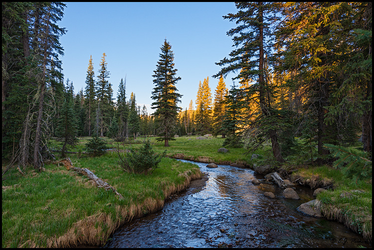
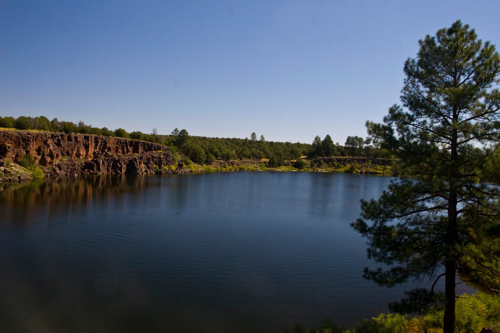
Escudilla Mountain is located in the White Mountains of Eastern Arizona near the town of Eagar. It is considered the third highest mountain in Arizona, and like the others, is volcanic in origin. Though there are eleven higher named summits in the state, most are considered subpeaks of either Humphrey’s Peak or Mount Baldy. The name Escudilla is Spanish for “a small bowl,” and the mountain may have been named by early Hispanic settlers in the region, or possibly by a member of Coronado’s 1540 Expedition through the Southwest. In 1984 the Escudilla Wilderness Area was created, encompassing 5,200 acres of Escudilla Mountain and the surrounding area of the Apache National Forest. Two primary trails are utilized for this moderate dayhike. The scenic Escudilla National Recreation Trail #308 is used by most hikers while the steeper Government Trail #119 receives less traffic since it is slightly longer with fewer views of the surrounding lowlands. They may be combined to form a loop. The fire lookout tower on Escudilla Mountain is the highest in Arizona although it is not on the true summit. A climb to the top of it offers spectacular views into New Mexico and the surrounding area. Mount Baldy can be seen to the west. The tower is occupied daily and permission should be acquired from the lookout before ascending the steps. Permission will not be granted if it is raining. For more information and park updates, visit: http://www.fs.usda.gov/recarea/asnf/recreation/recarea/?recid=45293&actid=50.

Apache-Sitgreaves National Forest

(Courtesy photo)

(Courtesy photo)

The Apache and the Sitgreaves National Forests were administratively combined in 1974 and are now managed as one unit from the Forest Supervisor’s Office in the town of Springerville. The 2 million-acre forest encompasses magnificent mountain country in east-central Arizona along the Mogollon Rim and the White Mountains.

What makes this forest so special? Its the water – and plenty of it – draining the high mountains and forming numerous lakes and streams, making it a fisherman’s paradise, or for anyone else who enjoys a lakeside view coupled with a beautiful, mountainous backdrop in the arid Southwest.

The Apache-Sitgreaves has 34 lakes and reservoirs and more than 680 miles of rivers and streams – more than can be found in any other Southwestern National Forest. The White Mountains contain the headwaters of several Arizona rivers including the Black, the Little Colorado, and the San Francisco.

The Sitgreaves was named for Captain Lorenzo Sitgreaves, a government topographical engineer who conducted the first scientific expedition across Arizona in the early 1850’s. On the Sitgreaves, the major attractions for visitors from the hot valleys of Phoenix or Tucson are the Mogollon Rim and the string of man-made lakes. From the Rim’s 7600-foot elevation, vista points provide inspiring views of the low country to the south and west.

In the last century, the U.S. Army established a series of forts in New Mexico and Arizona. To supply these forts and settlements, a military road was built linking Sante Fe, New Mexico and Camp Verde near Prescott. Part of this road, called the General Crook Trail, runs almost the length of the Sitgreaves and in many places follows the brink of the Rim.

The Apache National Forest is named after the tribes that settled in this area. It ranges in elevation from 3500 feet near Clifton to nearly 11,500 feet on Mount Baldy. The congressionally proclaimed Mount Baldy, Escudilla, and Bear Wallow wildernesses and the Blue Range Primitive Area make the Apache one of America’s premier backcountry Forests. The Apache is also noted for its trout streams and high-elevation lakes and meadows.

With the abundance of natural beauty one can take in on a hike or setting up camp, along with the rich history of this vast area, what’s not to love?

For more information and park updates, visit: http://www.fs.usda.gov/asnf.

Lyman Lake State Park

(Courtesy photo)

(Courtesy photo)


Created as an irrigation reservoir by damming the Little Colorado River, Lyman Lake State Park is located off the State Route 180 between towns of St. Johns and Springerville. The lake is a 1,200-acre park that encompasses the shoreline of a 1,500-acre reservoir at an elevation of 6,000 feet. It is fed by snowmelt from the slopes of Mount Baldy and Escudilla Mountain, the second and third highest mountains in Arizona. Water is channeled into this river valley from a 790-square-mile watershed extending into New Mexico.

Because of its size, Lyman Lake is one of the few bodies of water in Northeastern Arizona with no size restrictions on boats, however certain areas are buoyed off in order to create a peaceful (and successful) fishing area. The fishery consists of walleye, channel catfish and largemouth bass. The large remainder of the lake is open for all other types of water sports.

Lyman Lake really comes into its own during the spring, summer, and fall. Summer days, with temperature highs in the 80’s to low 90’s, are perfect for fishing, swimming, leisure boating, water-skiing, hiking or just plain relaxing.

For more information, visit: http://azstateparks.com/Parks/LYLA/.

Fool Hollow Lake Recreation Area in Show Low

(Courtesy photo)

(Courtesy photo)


Operated by the Arizona State Parks, and located on the city of Show Low’s northern border, this recreation area was created by a private/public partnership in 1988 between the City of Show Low, U.S. Forest Service, Arizona Game and Fish and Arizona State Parks and private entities, with construction beginning in the fall of 1991.

It is an 850-acre recreation area surrounding a 149 acre lake and includes 92 recreational vehicle/camper hook ups, 31 developed tent sites, five shower buildings with rest room facilities, two handicapped fishing piers and a contact station. In addition, a fully functional sanitary dump station, a fish cleaning station and several tot lots are available to visitors with the project. Plans in progress include group campgrounds, nature center, amphitheater, two large grassy playing fields, picnic ramadas, hiking trails and playgrounds. Annual use permits are available through the Arizona State Parks, by contacting (520)537-3680.

Also located on the southern boundary of the city is Show Low Lake, operated by Recreation Resource Management under contract with the city of Show Low, are campgrounds and picnic areas.

Show Low Lake is located adjacent to Show Low Lake Rd about 1 mile from Hwy 260. It is a 100-acre lake that sits at an elevation of 6,500 ft. Adjacent to the lake is Show Low Lake Campground, a 75 site campground with some electric sites, dump station, shower facility, and small convenient store. The store rents boats, sells fishing licenses, bait, tackle, drinks and snacks. The campground also offers a playground, day use ramadas and group camping.   For more information you can call the park at 928-537-4126 or for reservations, please call 1-888-537-7762

Petrified Forest near Holbrook

(Courtesy photo National Geographic)

(Courtesy photo National Geographic)


Walking around the Petrified Forest, it’s hard to imagine that the fossilized stones once used to be gigantic trees. It’s just another unique aspect of nature and unique site in Arizona.

The Petrified Forest attracts visitors from all over the world, from paleontologists and geologists to archaeologists and historians. While many travel thousands of miles to see this rare and beautiful place, for us, we only have to take a short road trip.

The forest is located near the city of Holbrook that boasts an abundance of history stemming from prehistoric times and early frontier days when cowboys and cattlemen made the city their ranching community. The city also was a stop along Route 66 and in the 1950s, which boosted the city’s business with travelers coming from across the nation. Today, Holbrook is the embarking ground for travelers and explorers looking to discover the natural beauty of the area in the nearby Petrified Forest, Painted Desert and Monument Valley.

The Petrified Forest National Park is open year-round and travelers can explore and participate in many recreational opportunities, including backpacking, hiking, and horseback riding.

Grand Canyon South Kaibab Trail

Courtesy Photo National Park Service

Courtesy Photo National Park Service

For those who wish to experience the Grand Canyon in a unique and rewarding way, hiking the canyon via the South Kaibab Trail is a fun experience.

The trail offers panoramic views and it holds very true to a ridgeline descent. An exhilarating sense of exposure is offered, but there is little shade and no water for the length of the trail.

This trail is the quickest way to the Canyon’s bottom of all the trails offered by the Grand Canyon. It’s a hard way back up to the top though, so you can always switch trails if you want an easier uphill battle.

White House Ruins Trail – Canyon de Chelly

Courtesy Photo from Flickr

Courtesy Photo from Flickr

The White House Ruins Trail leads to The Canyon de Chelly. The Canyon de Chelly contains over 2500 archeological sites ranging from 1500 B.C. to 1350 A.D. Among these sites are several hundred Anasazi Indian villages built between 350 and 1300 A.D. Today, Canyon de Chelly sits in the middle of the Navajo Indian Reservation and is home to many Navajo who live in and utilize the canyon’s resources.

There’s only one Canyon de Chelly hike that the general public can take without a Navajo guide and that’s the 2.5-mile trail to White House Ruins.

Those who do take on the challenge of the hike will find that it’s worth it. Once the hiker’s trail hits the bottom, there is a foot bridge available to cross the creek that is often dry. Hikers will be surrounded by Navajo merchants who are selling their jewelry and other ware. When hikers pass the merchants, they’ll finally get to the ruins where they’ll get to bask in the history of the Anasazi who once occupied the area and of the Navajo who still occupy it today.

San Tan Mountain Regional Park

Photo Courtesy of San Tan Mountain Regional Park

Photo Courtesy of San Tan Mountain Regional Park

‘Help us protect the land, history and wildlife’ is the motto for the more than 10,000-acre southeast Valley park of the lower Sonoran Desert. The park ranges in elevation from about 1,400 feet to over 2,500 feet. Goldmine Mountain is located in the northern area, with a spectacular San Tan Mountain escarpment in the southern portion of the park. Near the town of Queen Creek, the San Tan Mountain area is an ideal location to enjoy a part of the Sonoran Desert and truly appreciate the desert habitat and its wildlife, where vegetation changes from creosote flats to dense saguaro forest. Various types of wildlife may be observed, including reptiles, birds, and mammals. Amenities are slated for future development.

Don’t forget to stop by the Visitor’s Center to pick up educational tidbits, purchase souvenir items, visit with park staff, and see the wildlife exhibits or tortoise habitat. Restroom facilities are available and additional amenities are slated for future development.


San Tan Mountain Regional Park

6533 W. Phillips Road

Queen Creek, AZ 85142

480-655-5554

E-mail: santanpark@mail.maricopa.gov


Park Hours

Sunday-Thursday: 6 a.m.-8 p.m.

Friday-Saturday: 6 a.m.-10 p.m.

365 days a year!


Phoenix Hiking

Photo Courtesy of City of Phoenix

Photo Courtesy of City of Phoenix

Camelback Mountain

With an elevation of 2,704 feet, and a 360-degree view of the Valley at its highest point, Camelback Mountain is an excellent hike or climb in Arizona, especially when you do not want to venture too far, and want to do a much quicker hike – as opposed to all day. Camelback Mountain is located in the Camelback Mountain Echo Canyon Recreation Area between Phoenix, Scottsdale and Paradise Valley.

There are 2 hiking trails, Echo Canyon and Cholla, and while both trails are rather difficult, the exhilaration once you’ve completed and gone to that highest point with a view of the entire city, its worth it! For first-timers, you can schedule a guided hike up Camelback Mountain, read about other hikers’ experiences, as well as post your own.

Piestewa Peak 

What once was an old horse trail and trail for mining is now a varying, beautiful, and challenging trail. Start first thing in the morning and when you get to the top enjoy the array of colors illuminating the sky, or do this as a means to get your cardio-workout in. Whatever you decide, the trail is comparative to Camelback with its difficulty level, but just as equal with its luscious desert backdrop and view of the city from the north.

Its highest peak is at 1,208 feet, and approximately fifteen miles of interconnecting trails in the Preserve, ranging from easy to difficult, one can easily spend only 30 minutes to several hours hiking and taking in the sights.

Photo Courtesy of AZ Central

Photo Courtesy of AZ Central

South Mountain 

With 70 miles-worth of trails to choose from, and ranging from easy to skilled, South Mountain is another great place to hike and stay close to the Phoenix area. Located at Central Avenue, south of Dobbins Road, the trails can very easily take you a short distance of mostly even-surface, to rugged, multi-leveled trails for the avid hiker or mountain biker. If you’re feeling a wild hair, hike to the top where you will get a gorgeous view of the city on one side and the other a serene view of the northernmost part of the Gila River Reservation where peaceful scape of the outstretched horizon can be seen for miles. While this can be an enjoyable hike for many, it is forewarned that these trails are underdeveloped and wildlife is very much a part of the area, so take caution!

Hiking in Phoenix: https://www.phoenix.gov/parks/trails/ 


West Wing Mountain Trail

Photo Courtesy of City of Peoria

Photo Courtesy of City of Peoria

Considered an “advanced trail,” the 2.9-mile route on West Wing Mountain, located in the city of Peoria, starts at the northwest intersection of High Desert Drive and Higuera Drive, has been improved from the original version to make this hike even more interesting and scenic. The best modification that was made to this new route is that it seldom overlaps the same walking path except on your return trip down the hill. However, you will find out that the most difficult part of this advanced hike is within the first mile of the hike. Be prepared to climb to the mountain’s highest point with a few steep inclines along the way. Then, get ready to enjoy the remainder of the hike with panoramic views.

Another deemed “extreme” trail begins at same northwest intersection of High Desert Drive and Higuera Drive, where a sign indicates the trailhead for the 3.5-mile trail. The route has been modified from its original version to make this hike even more extreme and difficult. The advantage of this new route is that it seldom overlaps the same path, except at the most interesting part of the hike, and on your return trip down the hill. So build up your stamina, because this one is going to challenge you.

If you haven’t experienced it yet, it’s time you did. The trail head for Sunrise and WestWing Mountain includes off-street parking, restroom facilities, and chilled drinking fountains from 6:00 a.m. to dusk.  The New River Trail is designed to accommodate all non-vehicular users, including walkers, joggers, strollers, bicyclists, roller blades, and equestrians.

Enjoy your hiking experience: play by the rules; hike safely; be courteous of others; and please keep Peoria’s mountain spaces clean.