Blog Posts Tagged ‘recreation’

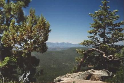
Fool Hollow Lake Recreation Area in Show Low

(Courtesy photo)

(Courtesy photo)


Operated by the Arizona State Parks, and located on the city of Show Low’s northern border, this recreation area was created by a private/public partnership in 1988 between the City of Show Low, U.S. Forest Service, Arizona Game and Fish and Arizona State Parks and private entities, with construction beginning in the fall of 1991.

It is an 850-acre recreation area surrounding a 149 acre lake and includes 92 recreational vehicle/camper hook ups, 31 developed tent sites, five shower buildings with rest room facilities, two handicapped fishing piers and a contact station. In addition, a fully functional sanitary dump station, a fish cleaning station and several tot lots are available to visitors with the project. Plans in progress include group campgrounds, nature center, amphitheater, two large grassy playing fields, picnic ramadas, hiking trails and playgrounds. Annual use permits are available through the Arizona State Parks, by contacting (520)537-3680.

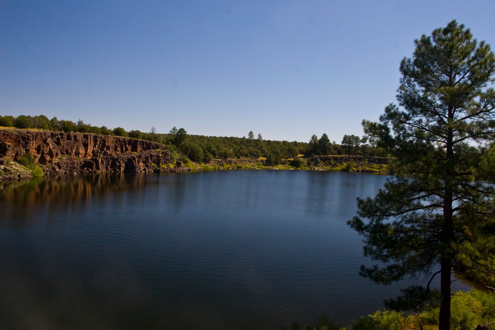
Also located on the southern boundary of the city is Show Low Lake, operated by Recreation Resource Management under contract with the city of Show Low, are campgrounds and picnic areas.

Show Low Lake is located adjacent to Show Low Lake Rd about 1 mile from Hwy 260. It is a 100-acre lake that sits at an elevation of 6,500 ft. Adjacent to the lake is Show Low Lake Campground, a 75 site campground with some electric sites, dump station, shower facility, and small convenient store. The store rents boats, sells fishing licenses, bait, tackle, drinks and snacks. The campground also offers a playground, day use ramadas and group camping.   For more information you can call the park at 928-537-4126 or for reservations, please call 1-888-537-7762

Christopher Creek

christopher creek 2_prescott area_8.4.14

Image courtesy of rimcountry.com

With an elevation over a mile-high(5640 ft), Christopher Creek Campground’s crisp, fresh air and vibrant views are a joy to behold. The facility is tucked along the banks of the spring-fed Christopher Creek, which passes just below the Mogollon Rim.

The Mogollon Rim, pronounced by locals as “muggy-own,” is a 200-mile long cliff in northern Arizona that ranges between 5,000 and 7,000 ft in elevation. The unique landscape was created by extreme erosion and faulting that has sculpted spectacular canyons and buttes. The rim serves as the geographical dividing line between the cool high country above and the hot, dry desert below. Christopher Creek is located in the desert portion, but is balanced by the cool waters of the creek and forested surroundings.

After a day of horseback riding or mountain biking, take a dip in one of the facility’s three swimming holes to cool off from the summer sun. Or if winter is more your thing, visit during the snowy months to take advantage of the miles of cross-country skiing available. Each spring, the creek is stocked with rainbow trout, allowing anglers the opportunity to cast their hearts out for rainbows as well as brook and brown trout.

The small town of Christopher Creek is just a short drive away and offers a few restaurant options for those who tire of cooking at the campground. A series of lakes called the Rim Country Lakes are about a 10 minute drive east. Woods Canyon Lake is one of the most popular recreational lakes in the state and offers options for boating as well as a nature trail that loops around the lake’s perimeter.

Information courtesy of recreation.gov; learn more here.

Sabino Canyon

OLYMPUS DIGITAL CAMERA

Located near Tucson, Sabino Canyon tours offers a narrated, educational 45-minute, 3.8 mile tour into the foothills of the Santa Catalina Mountains. The trams have nine stops along the tour with several restroom facilities and picnic grounds located near Sabino Creek. The tram turns around at Stop #9 and heads back down to the Visitor’s Center, at which point riders may remain on board and hike back down. Trams arrive on average every 30 minutes.

A variety of trails are available along the way for hiking that range from easy to challenging. The main road, one of two routes on which Sabino Canyon Tours operates its Sabino Canyon tram route, is mostly flat and paved. It can be easily navigated by visitors of all ages. The main road ascends from 2,800 to 3,300 feet and crosses Sabino Creek over 9 stone bridges. It is a favorite route for both hikers and bicyclists.


To find out more information about the different trails offered, visit: http://www.sabinocanyon.com/.