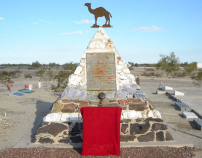
Oatman Burros
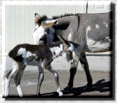
Image courtesy of oatmangoldroad.com
Should you decide to take a leisurely drive along Historic Route 66 and down through Oatman, nestled between Kingman and Lake Havasu City, don’t be surprised if your journey comes to a sudden halt thanks to a certain roadblock. No, not from construction – due to some stubborn mules who like to hang out with the town folks and passersby.
Certainly, Oatman’s got a gold-mine tour, Wild West shootouts and an annual egg-frying contest, but it’s the braying beasts of burden everybody comes to see. The burros, though they’ve gotten quite comfortable among humans, are actually wild. It’s estimated there are about 600 feral burros meandering in the area, and about a dozen of them enter Oatman on a daily basis. They come down from the Black Mountains of their own accord and invade the town as though commuting to work. When the shops begin to close and the tourists start to leave, they head back out again.
They’re direct descendants of pack animals that were once used in local mining operations. When the federal government shut the mines down in the 1940s in response to the war effort, workers simply let the burros go. These days, the burros willfully amble among Oatman’s small collection of storefronts, planting themselves along the shoulders and walkways. They persistently beg for handouts, which come in the form of carrots sold in many of the town’s shops. The animals aren’t subtle about it, either. They head-butt their way into car windows and wander directly into the shops to get what they’re looking for. Tourists who neglect to have treats on hand are sometimes chased down the street. Those with an ample supply quickly find themselves outnumbered and drowning in donkey slobber.
Oatman insists the burros are friendly, but still advise visitors to beware. The more zealous of the bunch have been known to mistake fingers for carrot sticks. Kicking isn’t unheard of, either. In fact, the locals recommend you leave the pets at home, as some of the pack tend to see dogs as furry soccer balls.